African Continent Pictures, Images and Stock Photos
Browse 58,800+ african continent stock photos and images available, or search for african continent abstract or african continent vector to find more great stock photos and pictures.
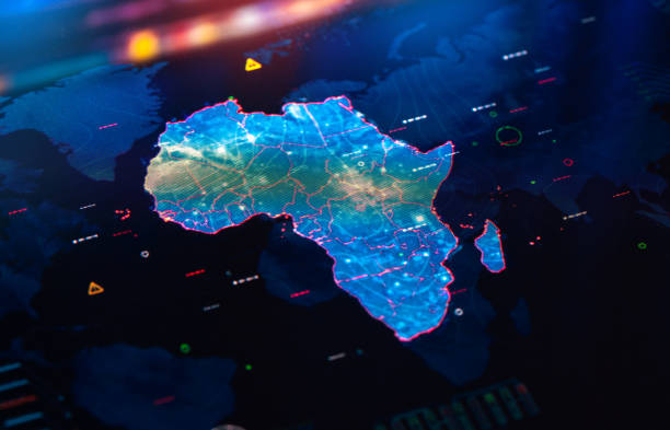
Map of Africa on digital pixelated display
Vector map with contour.
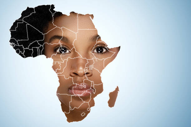
Face of young african woman inside the map of Africa

Map of Africa with Countries on blue digital background. All source data is in the public domain: https://www.naturalearthdata.com/downloads/10m-cultural-vectors/
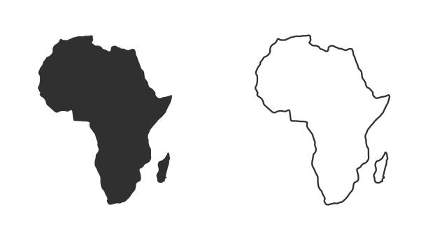
Africa Continent Icon on Black and White Vector Backgrounds. This vector illustration includes two variations of the icon one in black on a light background on the left and another version in white on a dark background positioned on the right. The vector icon is simple yet elegant and can be used in a variety of ways including website or mobile application icon. This royalty free image is 100% vector based and all design elements can be scaled to any size.
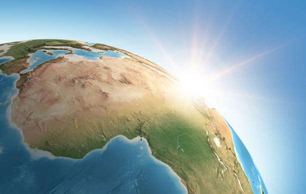
Sun shining over a high detailed view of Planet Earth, focused on Africa. 3D illustration (Blender software), elements of this image furnished by NASA (https://eoimages.gsfc.nasa.gov/images/imagerecords/73000/73776/world.topo.bathy.200408.3x5400x2700.jpg)
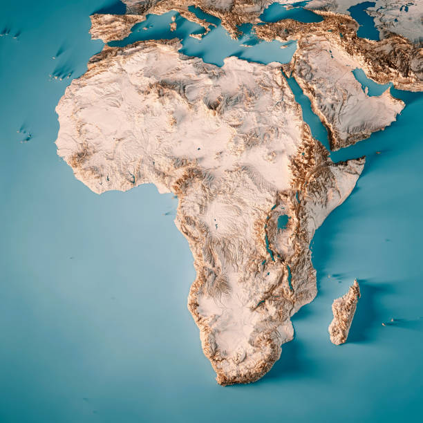
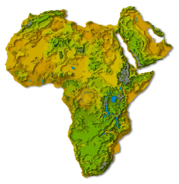
3D Render of a Topographic Map of Africa. All source data is in the public domain. Color texture: Made with Natural Earth. http://www.naturalearthdata.com/downloads/10m-raster-data/10m-cross-blend-hypso/ Relief texture: GMTED2010 data courtesy of USGS. URL of source image: https://topotools.cr.usgs.gov/gmted_viewer/viewer.htm Water texture: HIU World Water Body Limits: http://geonode.state.gov/layers/?limit=100&offset=0&title__icontains=World%20Water%20Body%20Limits%20Detailed%202017Mar30
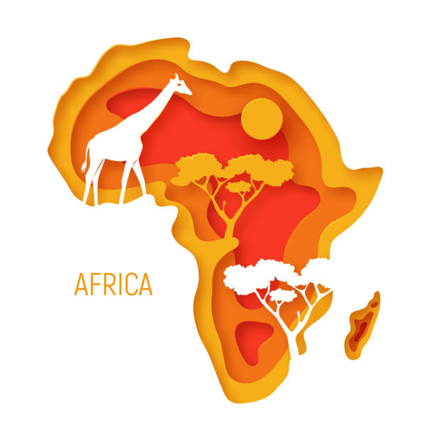
Africa. Decorative 3d paper cut map of Africa continent with wild animals silhouettes. 3d paper cut eco friendly design. Vector illustration.
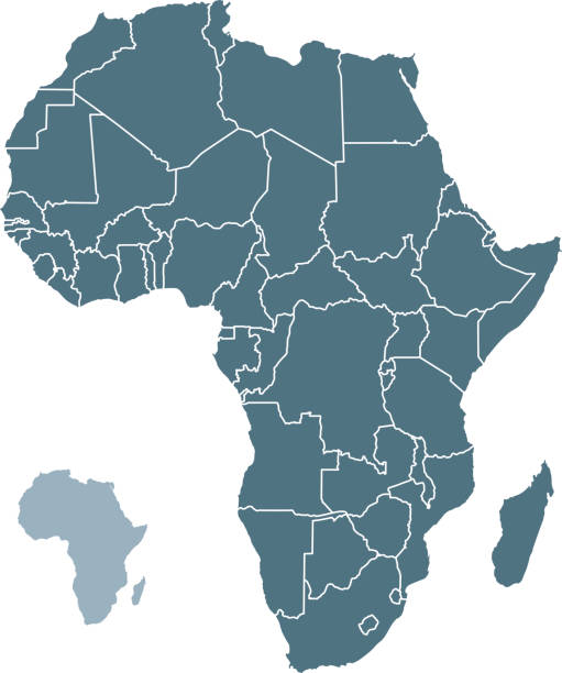
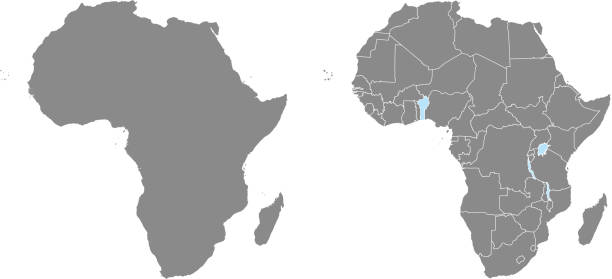
African countries each as separate shape named and in alphabetical order. Easy to select, recolor, modify.
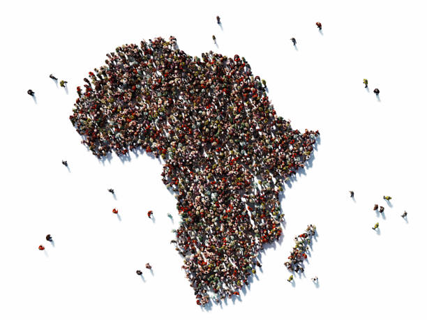
Human crowd forming continent Africa on white background. Horizontal composition with copy space. Clipping path is included. Population and Social Media concept.
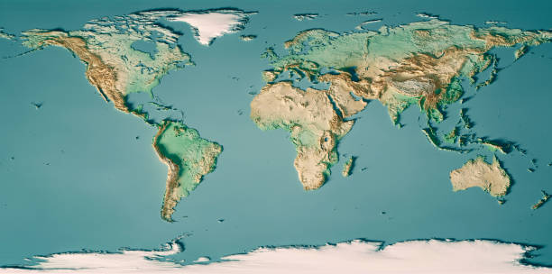
3D Render of a Topographic Map of the World in Miller Projection. All source data is in the public domain. Color and Water texture: Made with Natural Earth. http://www.naturalearthdata.com/downloads/10m-raster-data/10m-cross-blend-hypso/ http://www.naturalearthdata.com/downloads/110m-physical-vectors/ Relief texture: GMTED 2010 data courtesy of USGS. URL of source image: https://topotools.cr.usgs.gov/gmted_viewer/viewer.htm

Clean and shiny lightbulb with Africa as a glowing wire.(series)
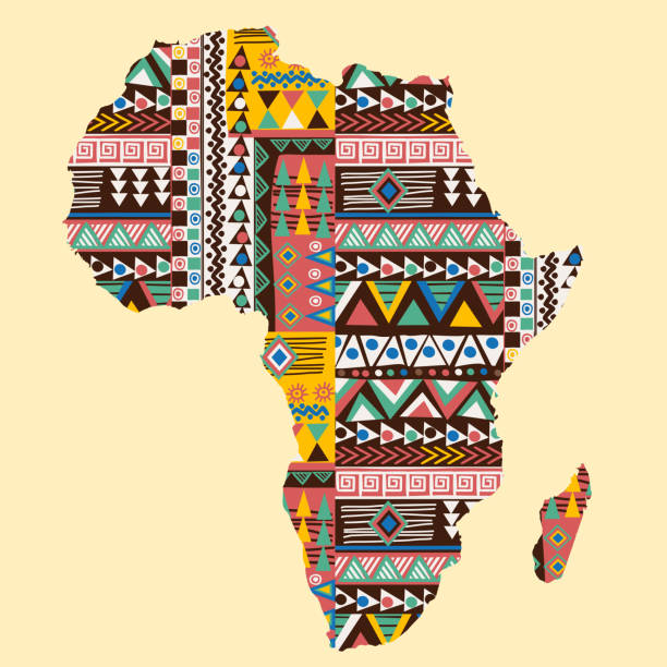
Africa continent map ornate with ethnic colored pattern

Africa regions political map with single countries. United Nations geoscheme. Northern, Western, Central, Eastern and Southern Africa in different colors. English labeling. Illustration. Vector.
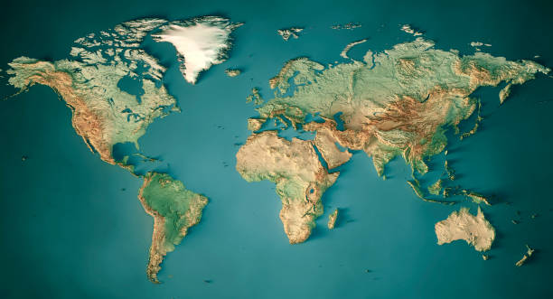
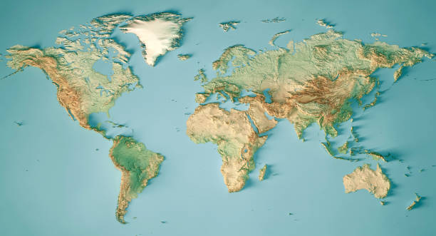
3D Render of a Topographic World Map. Made with Natural Earth. URL of source data: http://www.naturalearthdata.com Relief texture SRTM data courtesy of NASA. URL of source image: http://reverb.echo.nasa.gov The source data is in the public domain.

Outline map of Africa infographics with data charts representing communication, internet and technology
3D Render of a Topographic Map of the World in Miller Projection. All source data is in the public domain. Color and Water texture: Made with Natural Earth. http://www.naturalearthdata.com/downloads/10m-raster-data/10m-cross-blend-hypso/ http://www.naturalearthdata.com/downloads/110m-physical-vectors/ Relief texture: GMTED 2010 data courtesy of USGS. URL of source image: https://topotools.cr.usgs.gov/gmted_viewer/viewer.htm
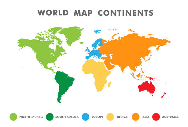
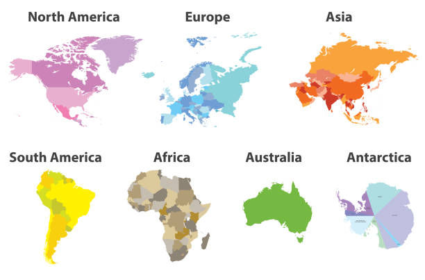
World map divided into six continents in different color. Colored map of the World with countries borders. Vector stock
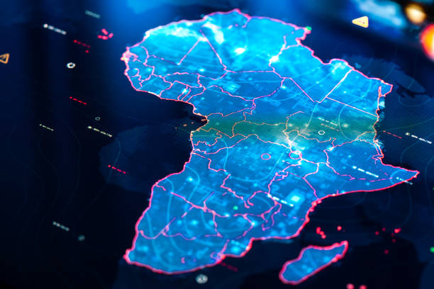
Map of Africa on digital pixelated display
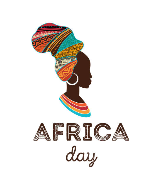
Happy Africa Day. Vector poster, banner, card template
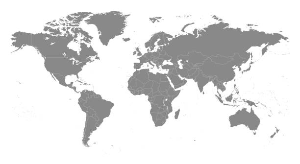
Highly detailed vector World map, with gray countries and white borders on a white background. High detail vector illustration
Vector layered paper cut style map of Africa continent. Travel poster, banner template. Africa day card.

vector of dotted world map in futuristic style, concept of communication world
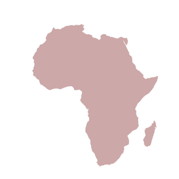
vector illustration of Africa map
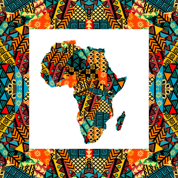
Africa patterned map. Banner with tribal traditional grunge pattern, elements, concept design. Vector illustration
Black History Month poster. African continent. Low poly style.

Africa shaped from golden glitter on a black background (series)

Vector Illustration World Map on White Background. Courtesy of the PCL Map Collection: http://www.lib.utexas.edu/maps/world.html (Public Domain PCL Map Collection).
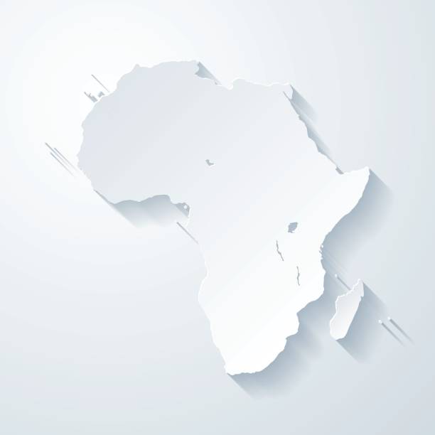
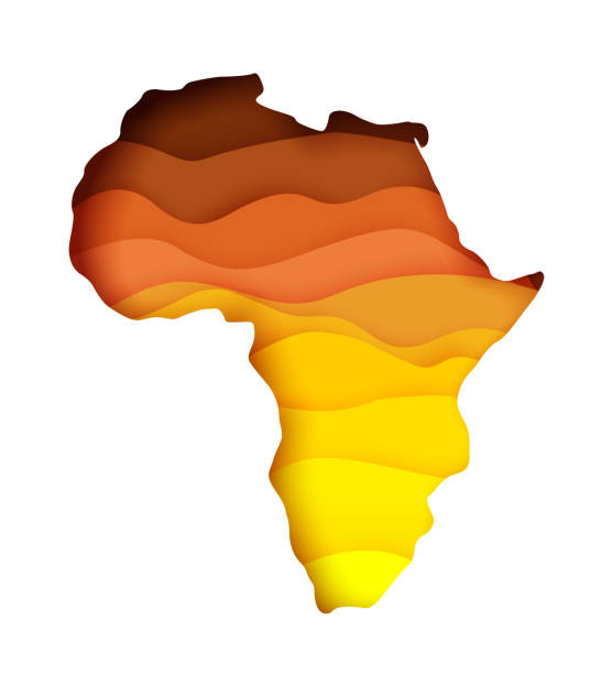
Map of Africa with a realistic paper cut effect isolated on white background. Vector Illustration (EPS10, well layered and grouped). Easy to edit, manipulate, resize or colorize. Please do not hesitate to contact me if you have any questions, or need to customise the illustration. http://www.istockphoto.com/bgblue/

Globe in the Girls Hands while she looking for her travel desitation at Africa continent.
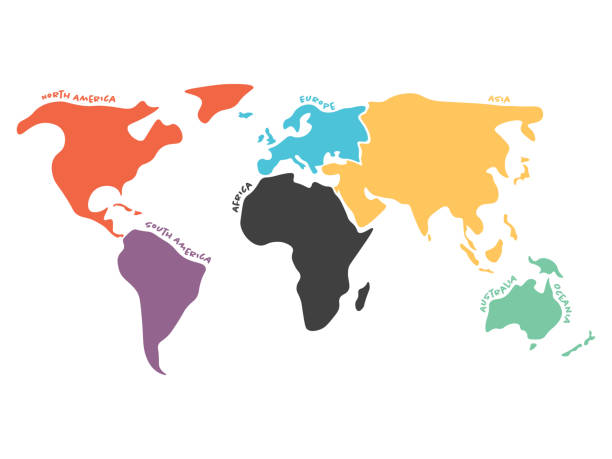
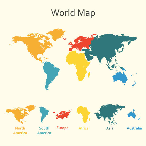
Multicolored world map divided to six continents in different colors - North America, South America, Africa, Europe, Asia and Australia Oceania. Simplified silhouette vector map with continent name labels curved by borders.
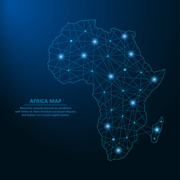
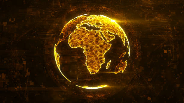
Abstract Africa map created from lines and bright points in the form of starry sky, polygonal wireframe mesh and connected lines. Low poly Africa continent. Vector illustration.
Africa Continent Icon Square Button Set. The icon is in black on a white square with rounded corners. The are eight alternative button options on the left in purple, blue, navy, green, orange, yellow, black and red colors. The icon is in white against these vibrant backgrounds. The illustration is flat and will work well both online and in print.
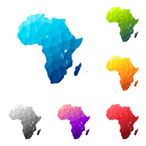
Set of 6 Africa maps created in a Low Poly style, isolated on a blank background. Modern and trendy polygonal mosaic with beautiful color gradients (colors used: Blue, Green, Orange, Yellow, Red, Pink, Purple, Black, Gray). Vector Illustration (EPS10, well layered and grouped). Easy to edit, manipulate, resize or colorize.
Map of Africa, sign silhouette. World Map Globe. Vector isolated color illustration. African continent.
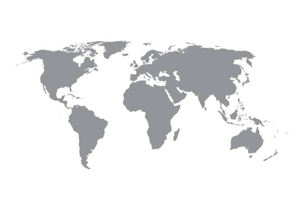
World map silhouette in grey isolated on white background. Vector illustration.
Vector African map with countries borders. Abstract red and yellow African countries on map isolated on white background
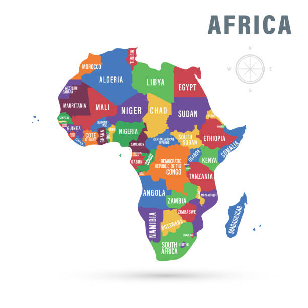
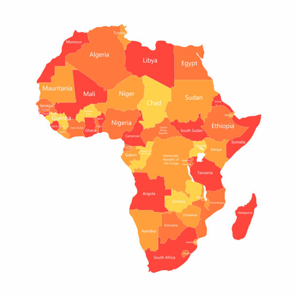
Vector illustration. Africa political map with country names.
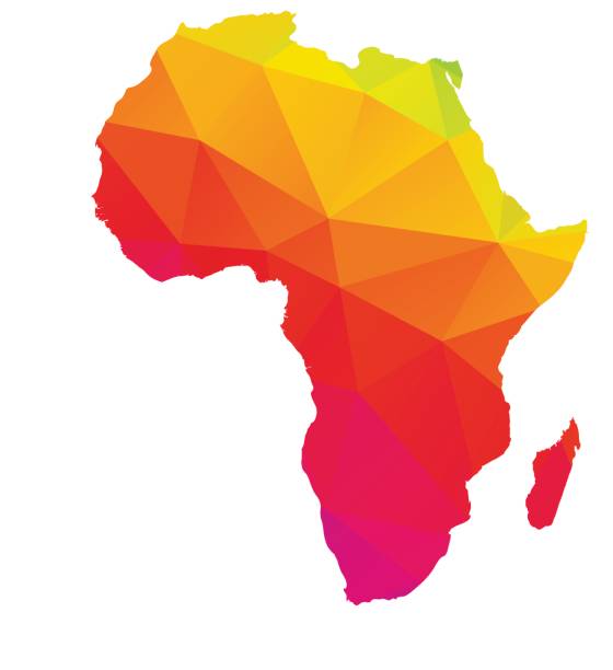
Colorful polygonal map of Africa with Madagascar, geometry cartography illustration, isolated on white

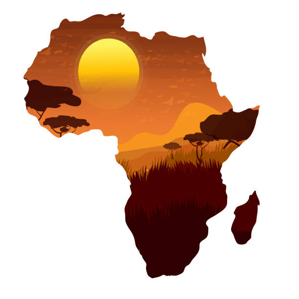
Africa continent, detailed papercut layered map with shadows, isolated on white background. Elements of this image furnished by NASA. /reference NASA image: https://images.nasa.gov/details-PIA04965.html
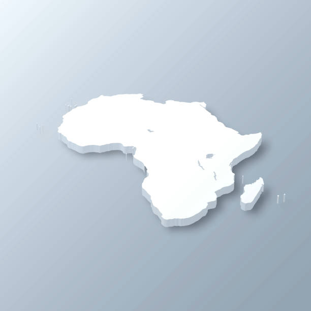
3D map of Africa isolated on a blank and gray background, with a dropshadow. Vector Illustration (EPS10, well layered and grouped). Easy to edit, manipulate, resize or colorize.

Africa map with polygonal glowing shapes. World map linear continent with lighting dots. Africa map continent with triangular line elements. Vector illustration isolated on blue gradient background.
Abstract Africa map icon in flat style. Isolated vector illustration
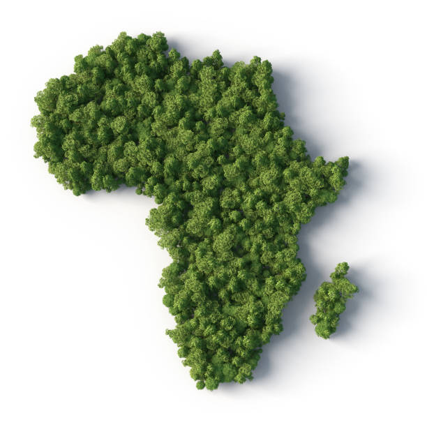
3d image. Africa forest on white
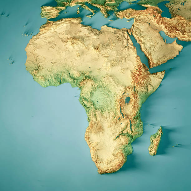
3D Render of a Topographic Map of Africa. All source data is in the public domain. Color texture: Made with Natural Earth. http://www.naturalearthdata.com/downloads/10m-raster-data/10m-cross-blend-hypso/ Relief texture: GMTED2010 data courtesy of USGS. URL of source image: https://topotools.cr.usgs.gov/gmted_viewer/viewer.htm Water texture: HIU World Water Body Limits: http://geonode.state.gov/layers/?limit=100&offset=0&title__icontains=World%20Water%20Body%20Limits%20Detailed%202017Mar30

Africa map created with a mesh of thin black lines and a light shadow, isolated on a blank background. Conceptual illustration of networks (communication, social, internet, ...). Vector Illustration (EPS10, well layered and grouped). Easy to edit, manipulate, resize or colorize.
Africa Map Vector Stock Illustration Design Template. Vetor eps 10.
Watercolor vintage world map in green colors on paper texture. Colorful artistic image of Earth's lands.