Africa Map Pictures, Images and Stock Photos
Browse 162,200+ africa map stock photos and images available, or search for africa or africa map vector to find more great stock photos and pictures.
africa
africa map vector
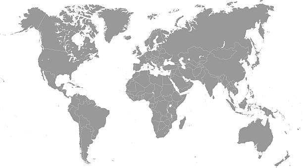
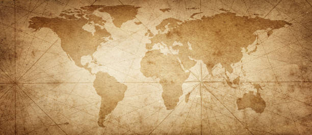
world map
map
africa globe
west africa map
north africa map
east africa map
africa map abstract
africa map outline
southern africa map
middle east africa map
south africa map vector
europe africa map
africa map digital
europe and africa map
africa map people
africa map illustration
africa map dots
africa map 3d
africa map countries
horn of africa map
south africa map outline
africa map green
africa map ghana
africa map icon
africa map line
northern africa map
africa map vintage
africa map connections
Most popular
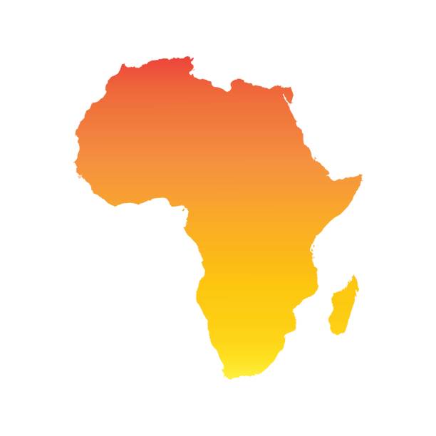
Africa map. vector
Africa Continent Icon. This 100% royalty free vector illustration features the main icon pictured in black inside a white square. The alternative color options in blue, green, yellow and red are on the right of the icon and are arranged in a vertical column.

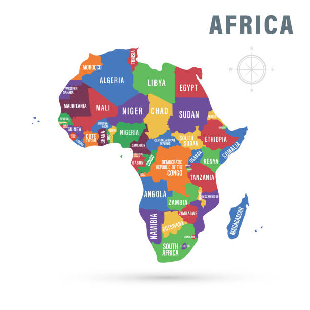
Africa regions political map with single countries. United Nations geoscheme. Northern, Western, Central, Eastern and Southern Africa in different colors. English labeling. Illustration. Vector.
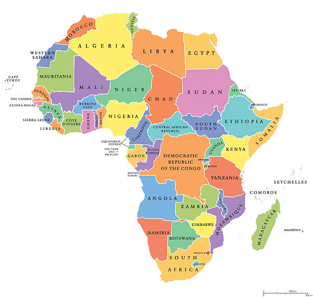
Africa single states political map. Each country with its own color area. With national borders on white background. Continent including Madagascar and island nations. English labeling.

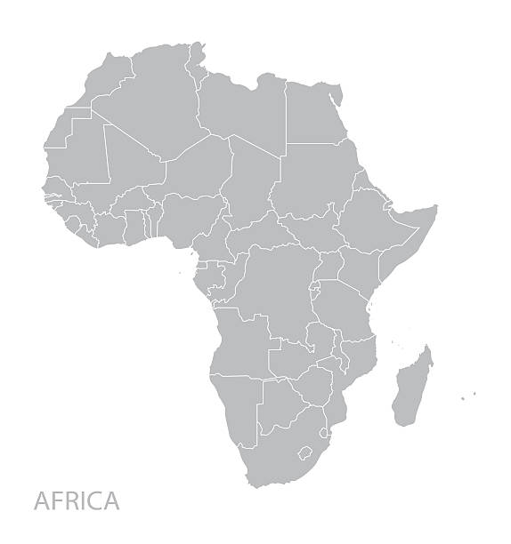
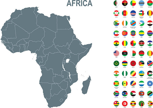
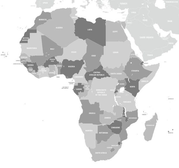
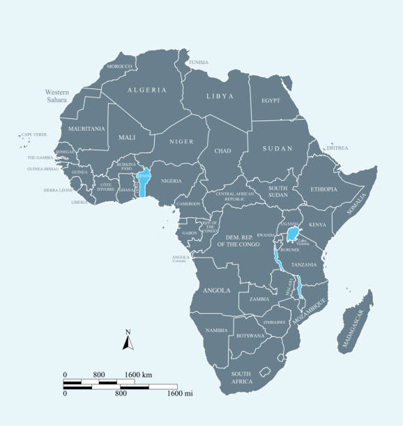
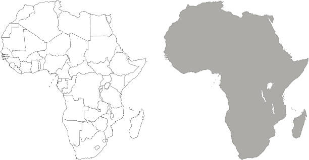
Africa, single countries, gray political map. Largest continent, including Madagascar. With English country names and international borders. Isolated illustration on white background. Vector.
Vector illustration. Africa political map with country names.
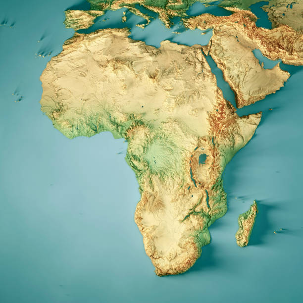
3D Render of a Topographic Map of Africa. All source data is in the public domain. Color texture: Made with Natural Earth. http://www.naturalearthdata.com/downloads/10m-raster-data/10m-cross-blend-hypso/ Relief texture: GMTED2010 data courtesy of USGS. URL of source image: https://topotools.cr.usgs.gov/gmted_viewer/viewer.htm Water texture: HIU World Water Body Limits: http://geonode.state.gov/layers/?limit=100&offset=0&title__icontains=World%20Water%20Body%20Limits%20Detailed%202017Mar30
http://dikobraz.org/map_2.jpg
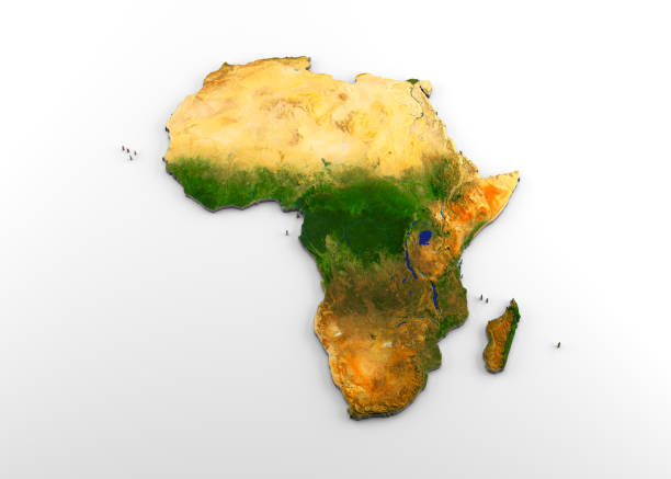
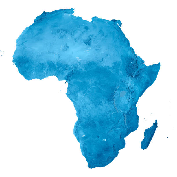
3D rendering of extruded high-resolution physical map (with relief) of the African continent, isolated on white background. Modeled and rendered with Houdini 16.5 Satellite image from NASA: https://visibleearth.nasa.gov/view.php?id=74092
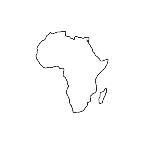
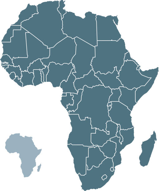
Vector map with contour.
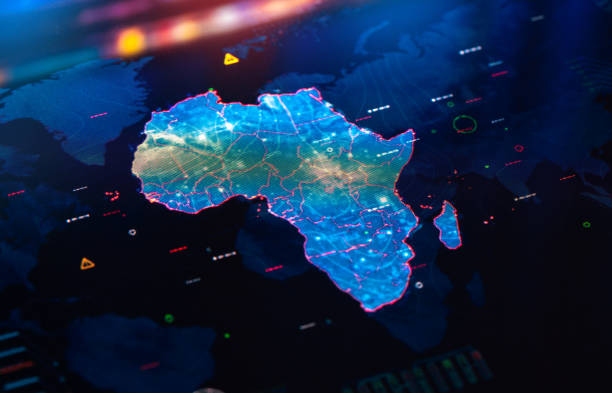
Map of Africa on digital pixelated display
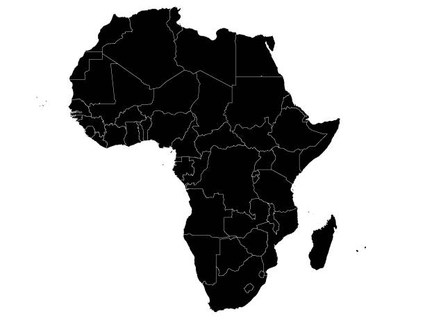
Vector Illustration of the Black Political Map of Africa - With Country Borders
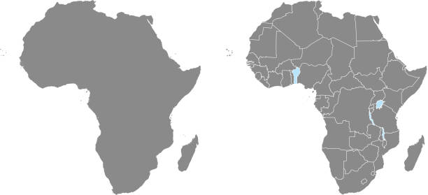
African countries each as separate shape named and in alphabetical order. Easy to select, recolor, modify.
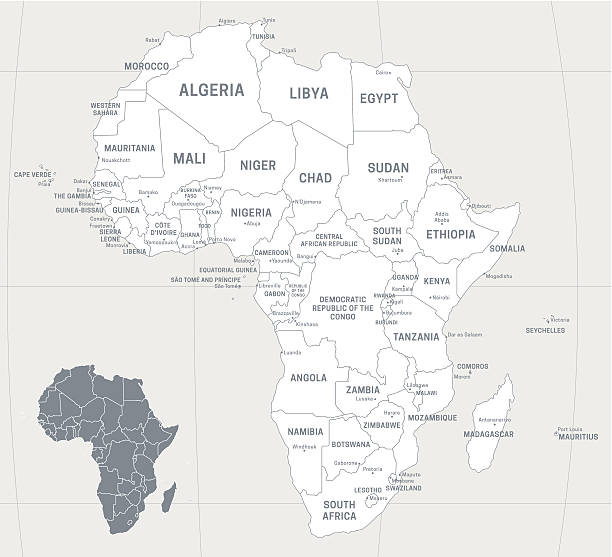
Map of Africa with labeled countries and capital cities. All elements grouped in their own layers, labeled and alphabetized for easy editing. (See screenshot.) EPS 10 file. Transparency effects used longitude and latitude lines.
Africa map vector black icon. Silhouette isolated on a white background. Eps 10 vector.

Map of Africa with Countries on blue digital background. All source data is in the public domain: https://www.naturalearthdata.com/downloads/10m-cultural-vectors/
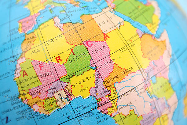
Closeup view of northern and central Africa section of cheap plastic globe
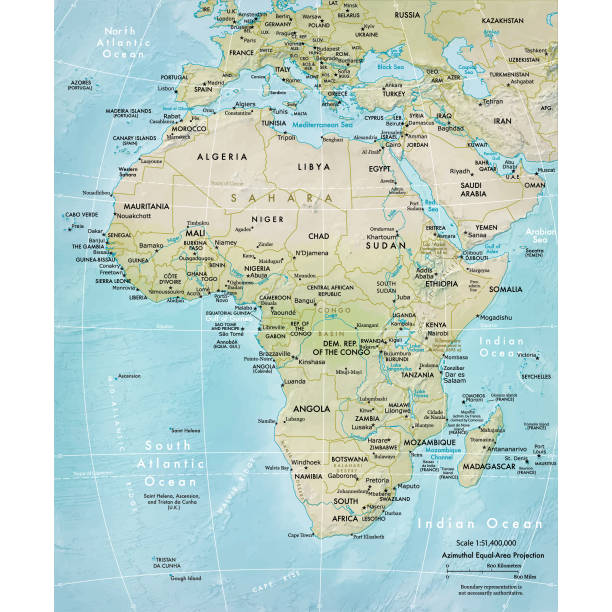
Vector illustration of a physical map of Africa Reference map was created by the US Central Intelligence Agency and is available as a public domain map at the University of Texas Libraries website. https://www.cia.gov/library/publications/resources/the-world-factbook/graphics/ref_maps/physical/pdf/africa.pdf
This vector map of Africa continent is accurately prepared by a GIS and remote sensing expert with highly detailed information.
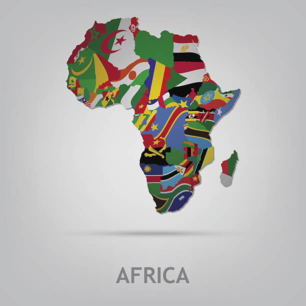
The flag of the country in the form of borders
http://dikobraz.org/map_2.jpg
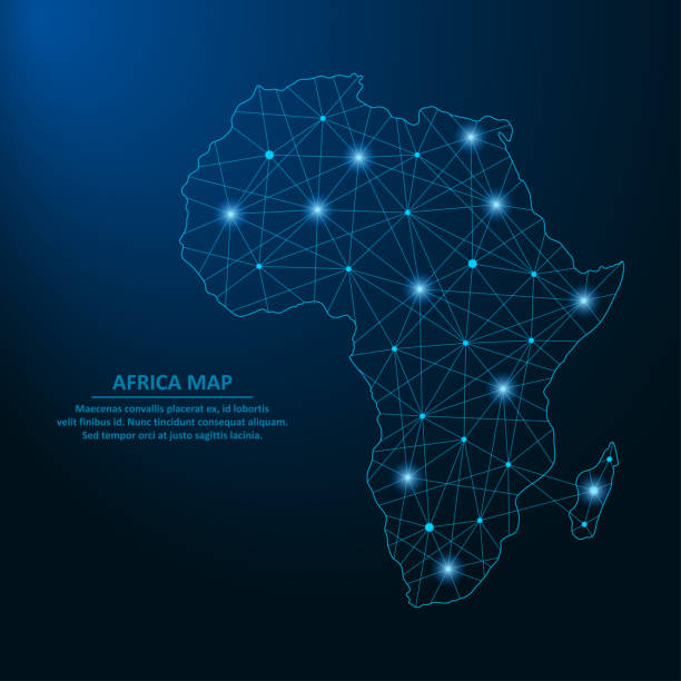
Abstract Africa map created from lines and bright points in the form of starry sky, polygonal wireframe mesh and connected lines. Low poly Africa continent. Vector illustration.

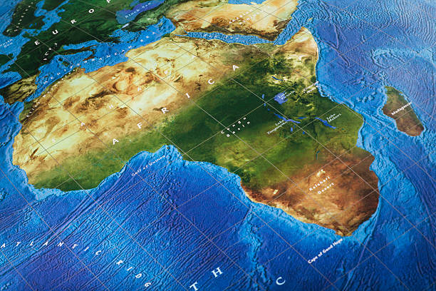
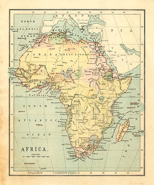
Map of Africa Continent. Detail from the World Atlas.

Africa on Planet Earth view from space with continents outlines abstract background. Globalization, connection concept. Low poly wireframe, lines and dots glowing design. Vector illustration.
Africa map isolated on white background. World map vector illustration .
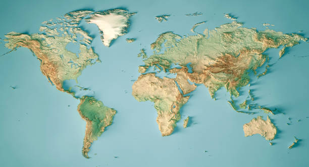
3D Render of a Topographic Map of the World in Miller Projection. All source data is in the public domain. Color and Water texture: Made with Natural Earth. http://www.naturalearthdata.com/downloads/10m-raster-data/10m-cross-blend-hypso/ http://www.naturalearthdata.com/downloads/110m-physical-vectors/ Relief texture: GMTED 2010 data courtesy of USGS. URL of source image: https://topotools.cr.usgs.gov/gmted_viewer/viewer.htm
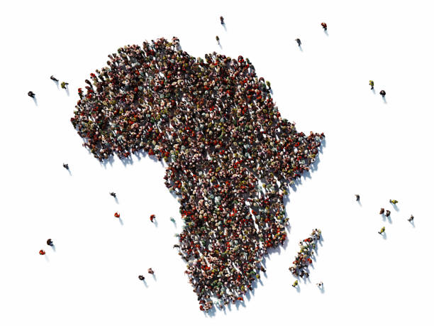
Human crowd forming continent Africa on white background. Horizontal composition with copy space. Clipping path is included. Population and Social Media concept.
+++ Note to Inspector: URL of source images: http://earthobservatory.nasa.gov/Features/BlueMarble/BlueMarble_monthlies.php +++
vector illustration of Africa Continent map


Map of Africa. Vector illustration in HD very easy to make edits.
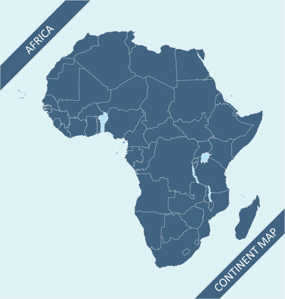
Africa map vector outline illustration with countries borders in blue background. Highly detailed accurate map of African continent prepared by a map expert.
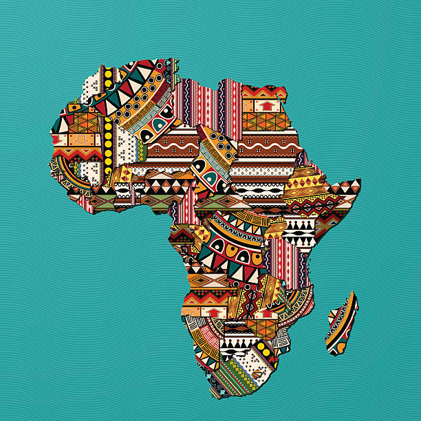
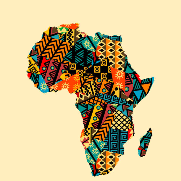
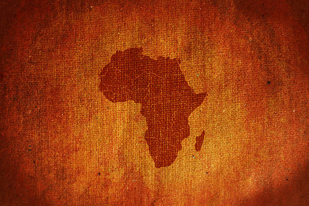
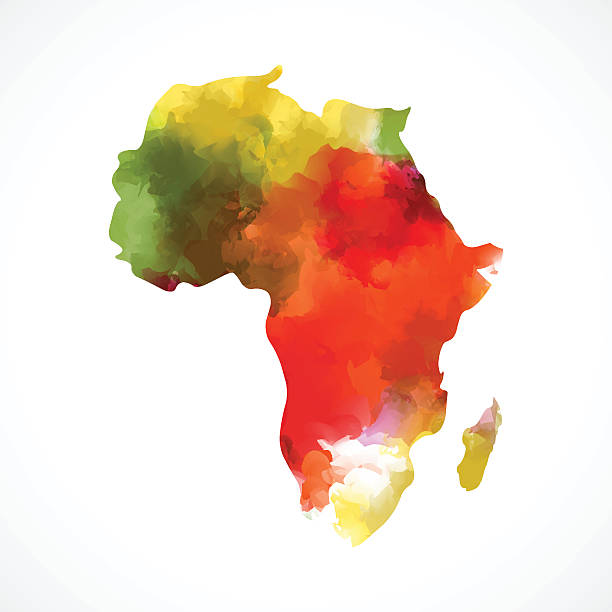
Decorative map of Africa in traditional textures
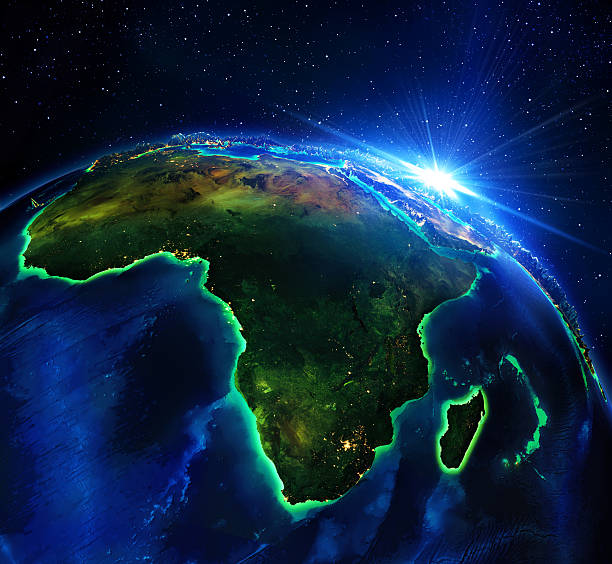
Africa, elements of this image furnished by NASA
Source maps reference:
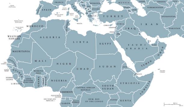
North Africa and Middle East political map with countries and borders. English labeling. Maghreb, Mediterranean, West and Central Asian countries. Gray illustration on white background. Vector.
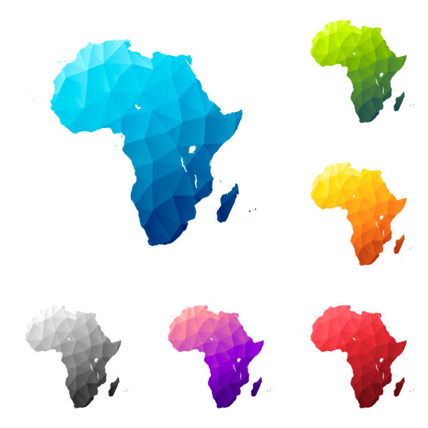
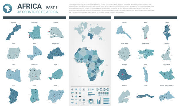
Set of 6 Africa maps created in a Low Poly style, isolated on a blank background. Modern and trendy polygonal mosaic with beautiful color gradients (colors used: Blue, Green, Orange, Yellow, Red, Pink, Purple, Black, Gray). Vector Illustration (EPS10, well layered and grouped). Easy to edit, manipulate, resize or colorize.
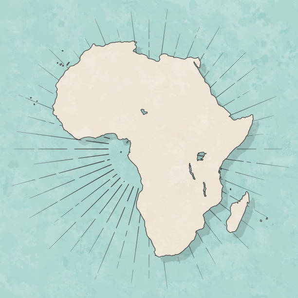
Map of Africa in a trendy vintage style. Beautiful retro illustration with old textured paper and light rays in the background (colors used: blue, green, beige and black for the outline). Vector Illustration (EPS10, well layered and grouped). Easy to edit, manipulate, resize or colorize.
color Africa map.EPS10

Close-up of Africa in the colorful world map.
![Africa map Africa map. Source: "World reference atlas"
[url=/search/lightbox/5890567][IMG]http://farm4.static.flickr.com/3574/3366761342_e502f57f15.jpg?v=0[/IMG][/url] africa map stock pictures, royalty-free photos & images](https://media.istockphoto.com/id/118291912/photo/africa-map.jpg?s=612x612&w=0&k=20&c=_SURo39YfvcYDJlU9MYvEewkRQhMnEU4X3whJdXZL14=)
Africa map. Source: "World reference atlas" [url=/search/lightbox/5890567][IMG]http://farm4.static.flickr.com/3574/3366761342_e502f57f15.jpg?v=0[/IMG][/url]

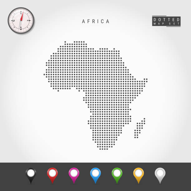
Dots Map of Africa. Simple Silhouette of Africa. Realistic Vector Compass. Set of Multicolored Map Markers. Vector Illustration.


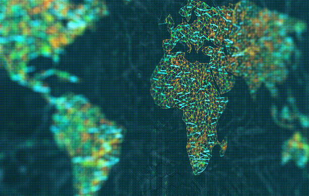
African map in a digital raster micro structure - 3D illustration - technology and data concept
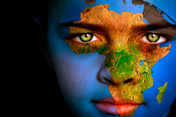
Portrait of a boy with the map of Africa painted on his face
The map of the world represented by illuminated digital connections. 3D image with depth of field on a LED screen.
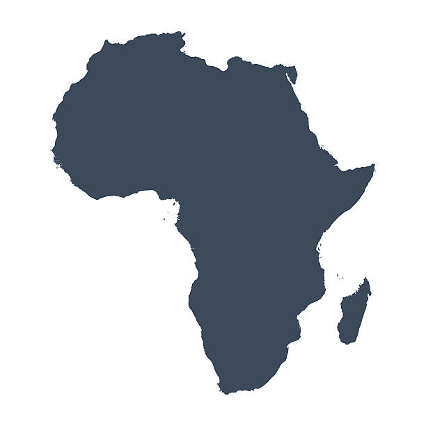
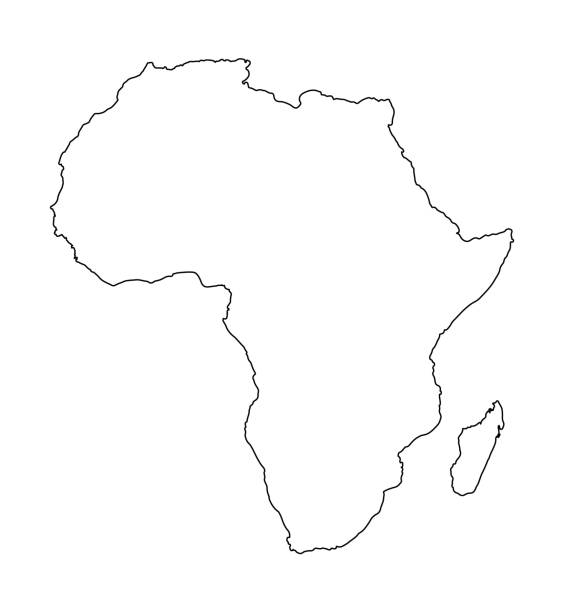
A graphic illustrated vector image showing the outline of the country Africa. The outline of the country is filled with a dark navy blue colour and is on a plain white background. The border of the country is a detailed path.

Vector illustration in HD very easy to make edits.

Symbols of nature, culture and architecture of Africa in the form of a stylized map